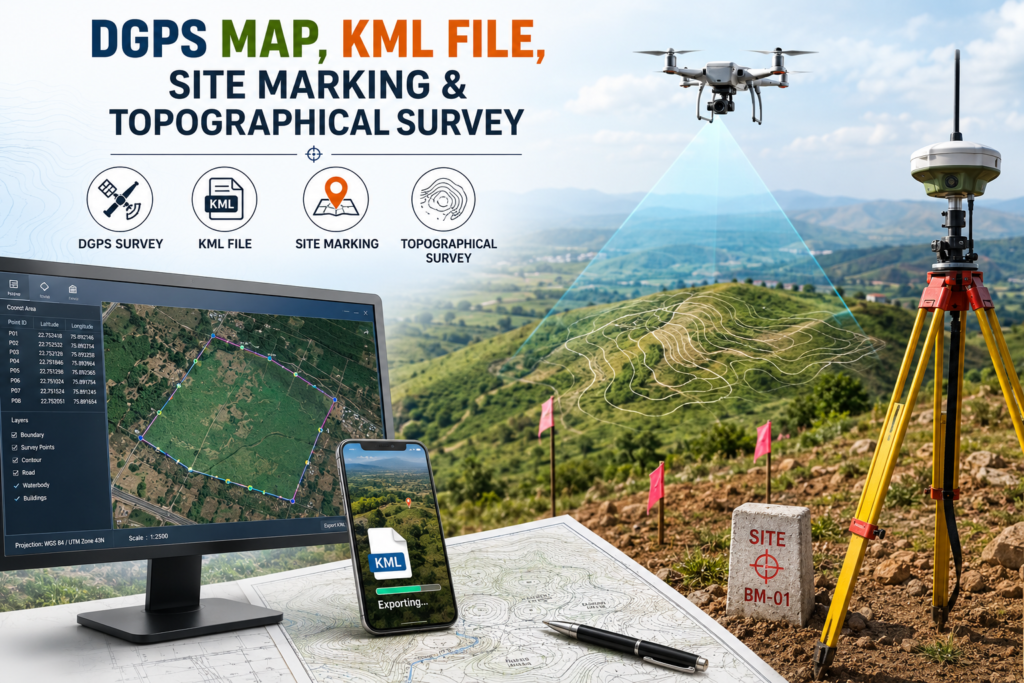
Our DGPS Mapping and Topographical Survey services provide accurate site measurements, boundaries, levels, contours, and existing ground conditions. Using advanced surveying techniques, we ensure reliable data for architectural planning and development.
We also prepare KML files for easy digital visualization of site locations and boundaries. Our professional site marking helps accurately identify important points, alignments, and boundaries on the ground before construction begins.
With precise mapping and survey data, we help architects, engineers, and property owners make confident decisions and create well-planned, efficient projects.